News · 21 August 2026 · 5 min read
"I paid $1.19 million for the block. Nine months later a line was drawn through it — and the line is allowed to move"
A retired sonographer downsized to the coast for $1.19 million, then learned part of her land can be opened to the public by a regulation she never signs — and the line marking it is legally allowed to move.
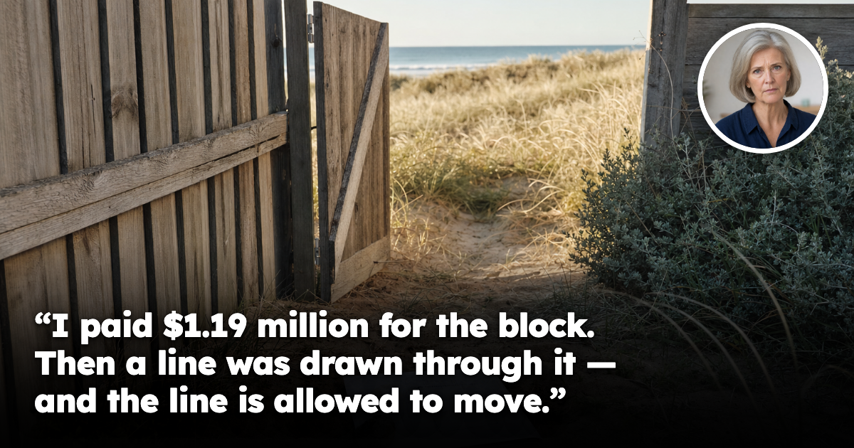
A retired sonographer downsized to the coast, checked everything a careful buyer checks, and found out afterwards that part of her land can be opened to the public by a document she never signs.
She is 62, spent thirty-one years in hospital imaging, and did what everybody says to do. She sold the family home and bought a modest single-storey house on a coastal block for $1.19 million — her whole retirement in one asset she could see out the kitchen window.
She was not careless. She ordered a title search, read the plan, and asked whether the dunes were council land or hers. The lot ran to a surveyed line, and the sandy rise at the back sat inside it.
Nine months after settlement a letter arrived from the State, stating an intention to declare part of her lot a public beach area and indicating roughly where those boundaries would sit.
Her question was short.
"How can they draw a line through land I already own — and how is that not a resumption?"
The answer: because it isn't a resumption, and that's exactly why it works
Most people's mental model of government taking land is acquisition: someone needs it, they pay for it, the title changes hands. That process is loud, slow, and comes with a valuation. This is not that.
Under one of the land statutes, a regulation can declare a part of a lot to be a public beach area. It does not touch the external boundary — she remains the registered owner of every square metre she bought. Nothing is acquired. What changes is who may walk on it.
The declared part must essentially be seashore, and the statute defines seashore more widely than most would guess: the land between the high and low water marks, plus any land above the high-water mark ordinarily covered only by sand or shingle. That second limb reached her block. The sandy rise she thought of as her back yard is, in the statute's language, land ordinarily covered only by sand.
Once the declaration and survey plan are registered, the area is open to public use — and the Act specifies that public use includes public enjoyment.
The part almost nobody sees coming: the line is allowed to move
The declared part must, where practicable, be delineated by a natural feature — and the statute gives its own worked examples: the top of a bank, the toe of a dune. Those are not survey pegs. They are landforms, and landforms move.
The Act deals with that directly. Where the chosen feature is capable of being regarded as ambulatory, it must be shown on the plan of survey as ambulatory — as moving. The stated intention is that the ambulatory boundary principles apply to the greatest practicable extent.
So the burden on her land is not a fixed rectangle. It is a line tethered to the toe of a dune, and dunes move. After a big enough winter, the public part of her block can simply be larger, without any new decision by anybody.
That is why this cannot be reasoned about like an easement or a third-party consent requirement, which sits still, or like a corridor designation measured in metre bands. Those are fixed lines you can price once. This one is never finally stated by any document that will exist.
The compensation section is one sentence long
A person is not entitled to relief or compensation — from the State or anyone else — under that Act, the land title compensation provisions, the property law relief provisions, the provisions of any other Act, or otherwise, for deprivation of an interest of any type in land, or for loss or damage of any kind, arising out of part of a lot becoming a declared beach area.
Ordinary exclusion clauses shut a door. This one shuts the corridor.
What she does get told, and what she doesn't
The process is not silent. She must be given written notice of the intention before the regulation is recommended, and there must be consultation before registration — the Minister must ask the council whether it wants to be manager, and whichever body takes that role must take reasonable steps to consult the owner and the public.
But read what the consultation is about. It is about the use conditions: whether vehicles are allowed, whether dogs are allowed, whether fires may be lit, whether camping is prohibited, whether access is limited to daylight hours, and what the signs will say. Those are the terms of the burden, not whether the burden is imposed. And the survey plan may be registered without the consent of anyone whose consent would otherwise have been required, on the endorsement of an official instead.
There is a real other side. The same Part provides that she cannot be required to maintain the declared area, and cannot be made civilly liable for what happens there unless she intends to create a risk or is reckless — in which case liability attaches to the State. Beach access is a legitimate public good, coastal land has always been governed differently, and nobody here is behaving badly.
Why this is a street question, not a suburb question
Two houses four hundred metres apart on the same coastal road show an identical suburb report. Same median, growth rate, school catchment, council, postcode and vacancy rate. Every number is the same number.
One has a dune at the back; the other has a seawall and a road reserve. Those two blocks are not the same asset and never were, and no median will tell you which is which. A suburb average has never once walked to the back fence.
Across a single suburb, the gap between best and worst streets routinely runs to a 20–30% spread in effective yield once you use achieved rents rather than asking rents, real vacancy duration, true days on market and genuine street-level supply and demand. Micro-factors attaching to a parcel rather than a postcode — a court order about a tree that transfers with the title, a strip of public road through a back yard — are where that spread comes from.
The pro-investment read
Nothing here is hidden. The definition of seashore, the ambulatory line, the notice and consultation duties, the use-condition menu and the compensation bar are all published and readable long before anybody sends a letter. What defeated her was not secrecy. She checked the boundary, not the instrument that can be laid across it.
Coastal property is not a worse asset for having rules attached to it; it is a differently priced one, and the pricing is only wrong when nobody reads the rules. Risk you can read is risk you can price — and priced risk isn't a threat, it's an edge over everyone else standing at that inspection.
She still owns the house and the view. What she wishes someone had told her is that the sandy rise she was buying had a line through it that hadn't been drawn yet — and when it was drawn, it would be allowed to move.
If there's a specific street you're weighing up right now, check its Street Score first — it's free, takes ten seconds, and tells you whether that street is pulling the suburb average up or riding on it.
Frequently asked questions
How can part of a coastal block in Australia be opened to the public after it has already been bought?
Under the land statute described in the article, a regulation can declare part of a lot to be a public beach area. The owner keeps title to the land, but public use is allowed over the declared part.
Does this count as the government resuming or acquiring the land?
No. The article says it is not a resumption because the State does not take ownership of the land. What changes is access and use, not the registered title.
Why can the boundary of the public beach area move over time?
The boundary can be tied to a natural feature such as the toe of a dune or top of a bank. Where that feature is considered ambulatory, the plan must show it as moving, so the line can shift with the landform.
Can the owner get compensation if part of the lot is declared a public beach area?
The article says no compensation or relief is available under the Act, land title compensation provisions, property law relief provisions, any other Act, or otherwise. It applies to loss or damage arising from part of a lot becoming a declared beach area.
What is the main lesson for buyers of coastal property from this story?
A standard title search and plan check may not be enough if the land is coastal and affected by special legislation. The article’s point is that parcel-level risks, not suburb averages, can materially change how a property is priced and used.
General information only. It does not take your objectives, financial situation or needs into account, and nothing here is legal, financial, taxation or investment advice specific to your circumstances.