News · 13 August 2026 · 5 min read
'Two blocks on the same street. One costs $8,000 more to build on. The other costs $140,000'
He bought a block on a mapped street and assumed the mapping was the answer. It wasn't — the rating is assessed from the building, and it can change across a single property. What every buyer should check before they sign.
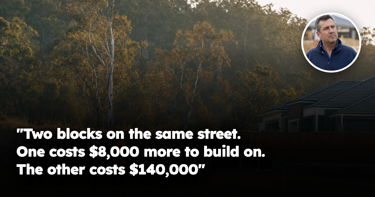
He is not a buyer who cuts corners. That is what makes the question worth answering.
Late forties, second property, bought a block on the outer fringe of a capital city intending to build. He checked the planning portal before making the offer. The land came up as bushfire prone. He didn't treat that as a red flag — half the street was shaded the same colour and four houses were already built on it. He read it the way most buyers do: this is a known thing, there is a process, the process has a cost, and the cost is a number I will find out.
Then he asked his builder what the number was. The builder couldn't answer until an accredited assessor had been to the site.
The assessment came back two levels higher than the block two doors up. Same street, same mapping, same vegetation on the satellite image. Roughly a hundred thousand dollars of difference in what it would take to put a house on it.
His question was short: how is that possible, and why did nobody tell me before I bought?
The part almost everybody gets wrong
The confusion is understandable, because two different things share the word "bushfire" and people assume they're the same document.
The first is the map. Councils are required by legislation to map bushfire prone land, and those maps are certified by the fire service and used for development control. They are drawn at landscape scale off vegetation classification — forest, woodland, and more recently grassland, which is how a great deal of previously unmapped land has quietly entered the system as maps are recertified. In one shire this year, a new map replaced one certified in 2003.
The second is the rating — the bushfire attack level, or BAL. That is not on any map. It's a site-specific assessment by an accredited practitioner, and it's what actually determines how you have to build.
The map tells you an assessment is required. It doesn't tell you what the assessment will say. Only one of those has a price attached.
Why two neighbours get different answers
A BAL is calculated from four inputs, and every one of them is measured from the building, not the suburb, and not even the block boundary.
Vegetation type and density within about 100 metres. Distance from the building to that vegetation. The slope in between — vegetation running uphill toward a house is materially worse exposure than the same vegetation running downhill away. And the fire danger index for the region.
Change any one and the answer changes. Two doors up, the reserve sits eleven metres further back and the land falls the other way. That is the whole difference. None of it is visible in a suburb median, a postcode or a listing photograph.
Here is the detail that makes the point better than we ever could: the national methodology for calculating a BAL doesn't produce a single figure for a property at all. It produces contours across the block, and instructs owners to note the rating for each side of the house, and separately for sheds, fences and driveways.
The official method operates below property level. One house can carry different ratings on its northern and southern walls. If the standard itself won't average across a single building, a suburb-level number was never going to help.
This is the same structural failure we've written about with newly drawn landslide overlays on flat land and with flood mapping that reprices houses that have never flooded. A line gets drawn at landscape resolution. The consequences land at address resolution. That gap is where money is made and lost.
What it actually costs
Published ranges vary by state, design and who is costing it, so treat these as indicative. But the shape is consistent, and the shape is the point.
At the bottom of the scale, ember protection: sealed roof spaces, mesh on gaps and weep holes, toughened glass, non-combustible gutters. Commonly single-digit thousands to around $15,000 on a standard build. The middle adds fire-rated window frames, non-combustible cladding, restrictions on decking — typically tens of thousands.
Near the top, where flames may intermittently contact the building, you are into non-combustible surfaces throughout, rated glazing, shutters, reinforced roof structure — frequently $40,000 to $80,000 extra, and some costings run considerably higher. In the flame zone, the requirements approach a bunker: steel and concrete, rated glazing only, often a dedicated water supply and pump. Six figures is normal.
Two further costs get overlooked. Defendable space is a permanent obligation, not a one-off — a managed zone maintained for the life of the home, often secured by an agreement on the title, running one to several thousand dollars a year. And insurance prices by rating, with loadings climbing steeply at the upper levels and some insurers declining to quote at all. As we've argued before, an insurance quote is the most honest second opinion anyone will give you about a property — the underwriter is the only participant who has to put their own money behind the answer.
The lever nobody uses
Here is what he did not know, and what makes this recoverable.
The rating is not fixed to the land. It is fixed to the proposed building, where you propose to put it. Moving the footprint closer to the road and further from the vegetation can drop the rating a level. Managing vegetation can too, though overlays often prevent it.
But that only works at design stage. Once siting is locked in, so is the number. He was three weeks from finalising a floor plan drawn purely around a north-facing living room.
A site assessment costs a few hundred to a couple of thousand dollars — the cheapest option in the entire project, and almost nobody buys it before they buy the land. That puts it in the same category as an easement that quietly removes a third of a block's buildable area: knowable, inexpensive to check, and catastrophic to discover late.
What this means if you own or are buying
Mapped bushfire prone land is not a reason to walk away, and treating it as one is its own expensive mistake. The exposed fringe is growing precisely because that's where land is affordable and where cities are expanding — outer-suburb populations in some capitals have more than doubled in twenty years.
What it does mean is that the market prices this factor as a category — bushfire prone or not — while the standard measures it as a gradient. Wherever those diverge, some properties are discounted for risk they don't carry, and others are bought at full price carrying risk nobody costed. Both errors are found below the suburb, on the block, from the building outward.
He hasn't lost anything. He found out, three weeks earlier than most, that the number was never fixed — only unasked.
The mapping never told him what his block would cost to build on. It only told him somebody should have measured it.
If there's a specific street you're weighing up right now, check its Street Score first — it's free, takes ten seconds, and tells you whether that street is pulling the suburb average up or riding on it.
Frequently asked questions
What is the difference between a bushfire prone land map and a BAL rating in Australia?
The map shows whether land is bushfire prone and signals that an assessment is required. The BAL, or bushfire attack level, is a site-specific rating that determines how the building must be constructed.
Why can two blocks on the same street have very different bushfire building costs?
A BAL is measured from the proposed building, not the suburb or block boundary. Small differences in vegetation distance, slope and orientation can change the rating, even between neighbouring lots.
What kind of extra building costs can a bushfire rating create?
Lower ratings may add only a few thousand dollars, while higher ratings can add tens of thousands. In the flame zone, the extra cost can reach six figures because of more substantial building requirements.
Are bushfire costs limited to the initial build price?
No. The article says defendable space can be a continuing obligation costing one to several thousand dollars a year, and insurance premiums can rise sharply or be hard to obtain at higher ratings.
What should a buyer check before signing on a bushfire prone block?
They should get a site-specific BAL assessment before locking in the purchase or the building design. The article says the cheapest check is the assessment itself, and it can reveal costs or design changes that a map cannot.
General information only. It does not take your objectives, financial situation or needs into account, and nothing here is legal, financial, taxation or investment advice specific to your circumstances.